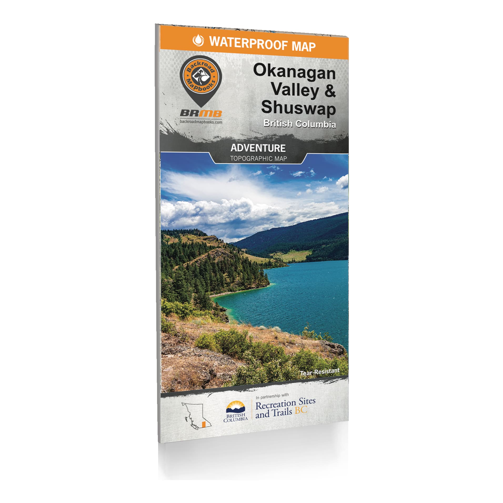
Backroad Mapbook - Okanagan Valley & Shuswap Waterproof Mapbook
Article # C: 298085 B: 3387102
Share:
Product Description
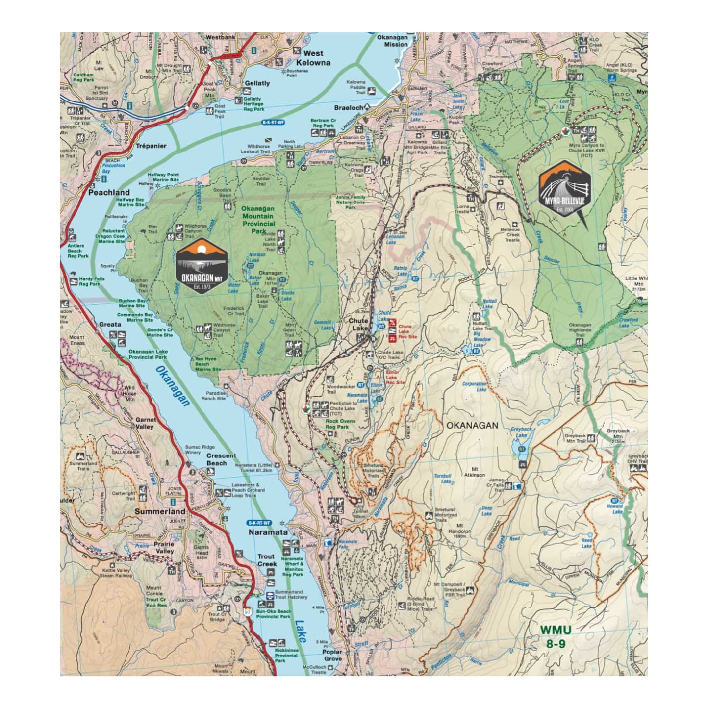
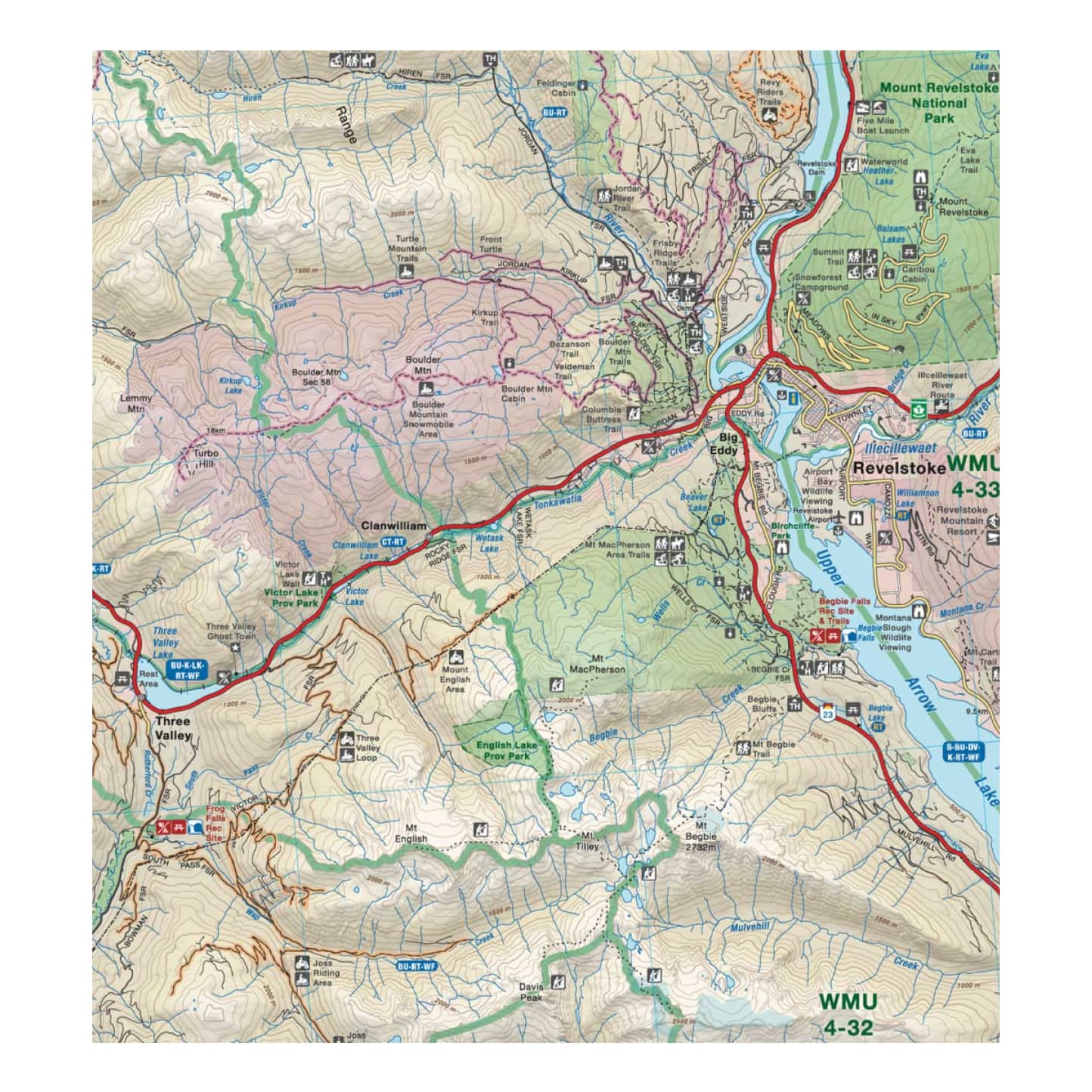
• Easy-to-read, large-scale, dual-sided 34” x 56.25” maps derived from Backroad Mapbooks at 1:20,000 scale
• The most complete Resource, Industry, and Logging road coverage available for the Okanagan Valley & Shuswap
• Waterproof, tear-resistant material that can withstand any storm or gale.
• Hundreds of land and water geographic features.
• Highlighted Wildlife Management Units for anglers and hunters
Tucked away in the heart of BC’s southern interior, the Okanagan Valley & Shuswap is one of Canada’s most sought-after outdoor adventure destinations. Crystal-clear mountain streams hold abundant trout populations and hidden swimming holes, shimmering lakes create a paradise for paddlers and boaters, and towering mountain ranges offer a massive playground for hikers and mountain bikers. Hunters can enjoy one of BC’s most abundant deer populations, while skiers and snowboarders are treated to world-class downhill riding once the snowfalls. From Salmon Arm to Vernon, Kelowna, Keremeos and Revelstoke, the Backroad Mapbook Okanagan Valley & Shuswap Waterproof Mapbook is your ultimate guide to outdoor adventure in the Okanagan Valley & Shuswap.
Backroad Mapbook Okanagan Valley & Shuswap Waterproof Mapbook includes:
• Addition of private leased land to keep you in bounds while exploring the wilderness by foot, bicycle, ATV or truck
• Over 63,000 km of roads including colour-coded highways, city roads, paved rural roads and logging and resource roads
• Over 5,000 km of multi-use trails for hikers, mountain bikers, horseback riders, cross-country skiers and snowshoers, including almost 350 km of the Great Trail
• Over 4,600 km of motorized trails for ATVs
• Close to 3,200 km of snowmobile trails
• Clearly marked fish species for dozens of lakes and rivers
• Labelled downhill and Nordic ski areas
• Detailed index for recreation sites, trails and provincial parks and more
