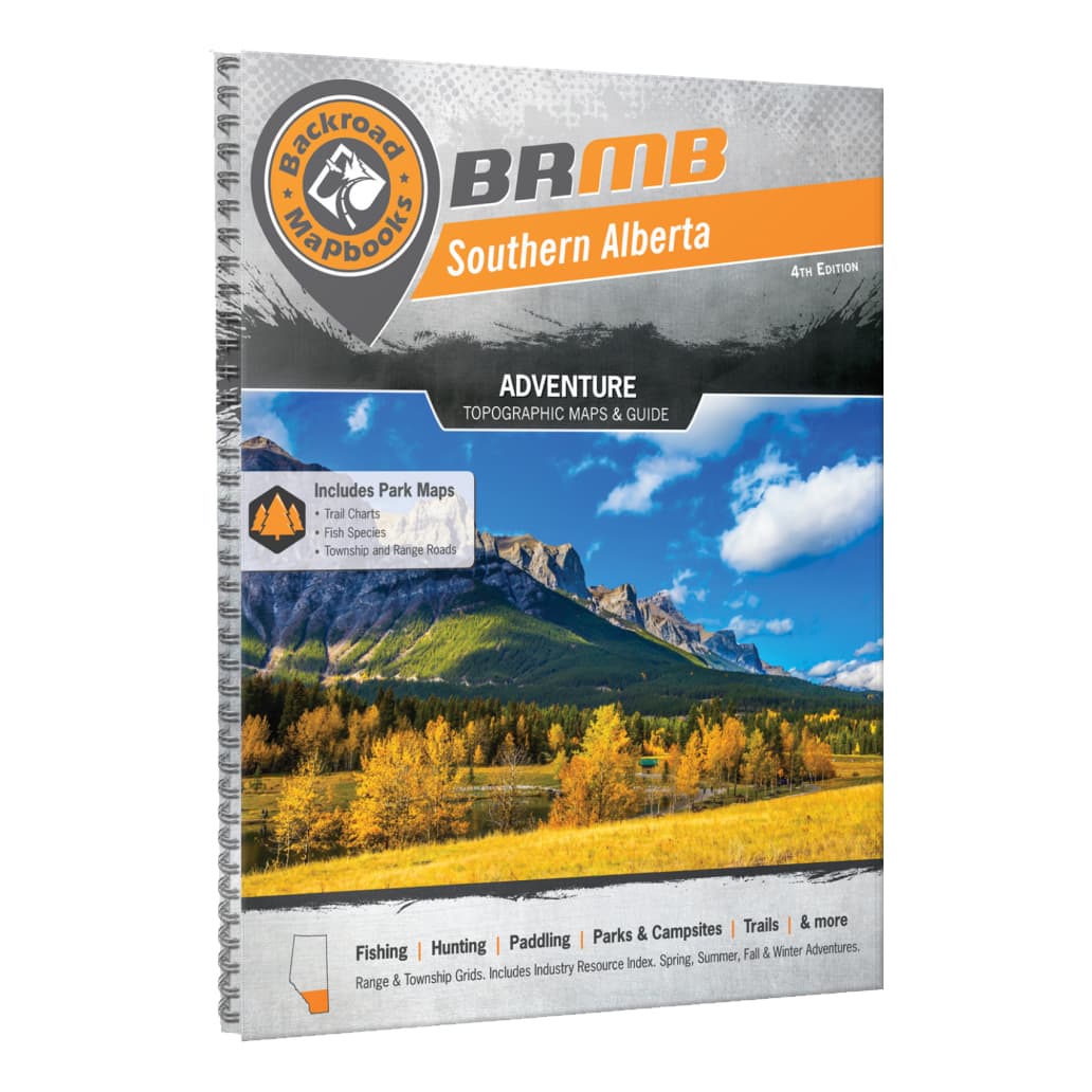
Backroad Mapbooks - Southern Alberta 4th Edition
Article # C: 210976 B: 1926963
Share:
Product Description
From the imposing, world-famous peaks of the Rocky Mountains in the west to the seemingly endless fields of wheat and canola in the east, Southern Alberta is a land of great contrast, with recreation opportunities as diverse as its landscape. The Rockies are the most dramatic part of this region and attract hikers, campers and mountaineers from across the globe, while anglers and whitewater rafters ply and play in the mountains’ many streams. As you make your way east, you will discover fertile hunting grounds and endless ATV trails, with a wide-open prairie landscape that will stir your adventurer’s soul and inspire you to take the road less travelled.
To help you take advantage of Southern Alberta’s many outdoor adventure opportunities, the latest edition of the Southern Alberta Backroad Mapbook features extensive updates and upgrades from the last publication. These maps now show Crown Forest Management Areas and Public Land Use Zone, along with labelled fish species for individual fishing lakes. We have also included bonus large scale park maps for Banff, Peter Lougheed and Waterton Parks along with an overview park map for Glacier National Park in the states. This Mapbook also contains fish stocking charts for the area’s main stocked species, along with trail charts for several parks and the Trans Canada Trail. We have also included brand new Backcountry Huts section among the carefully researched Adventure listings.
Pages: 216
Dimensions: 21.5 cm x 28 cm (8.5" x 11")
Map Scale: 59 maps @ 1:225,000 + 8 bonus Park Maps
Includes: Banff, Blairmore, Bragg Creek, Brooks, Calgary, Canmore, Carstairs, Cochrane, Crowsnest Pass, Drumheller, Fort Macleod, High River, Kananaskis Country, Lake Louise, Lethbridge, Medicine Hat, Okotoks, Olds, Pincher Creek, Sundre, Taber, Three Hills, & more


