Lowrance® Elite FS 9 Fishing System Fish Finder/Chartplotter Combo
Article # C: 287392 B: 2958264


$1,229.98 Was $1,399.99, You Save $170.01 (12%)
Place your order for curbside pick-up or select from more ways to shop!
Share:
Product Description
• Live sonar- and Active Imaging-compatible (transducers not included)
• Full networking capability
• High-resolution, multitouch display
• Preloaded with C-Map Contour+ charts
• Easy to use and install
• FishReveal
• Preloaded C-MAP Contour+ with 1' contours on 8,900 lakes
• Integrated wireless, NMEA 2000®, and Ethernet connectivity
• Includes US base map and is compatible with Navionics® and C-MAP
The Lowrance® Elite FS 9 Fishing System Fish Finder/Chartplotter Combo combines the power of proven Lowrance fish-finding tools with a more affordable display that's easier to use and install. From ActiveTarget™ live sonar and extreme high-resolution Active Imaging™ with Lowrance CHIRP sonar, SideScan and DownScan Imaging™, to preloaded C-MAP® Contour+ Fishing Maps, Elite FS gives you all the tools you need to find and catch more fish. See structure and cover with incredibly refined detail and at a range unmatched by any other structure imaging technology with Active Imaging™ 3-in-1 sonar, featuring CHIRP, SideScan and DownScan, along with FishReveal™.
Get the best of CHIRP sonar and DownScan Imaging on 1 screen with FishReveal, a Lowrance exclusive that helps you easily recognize fish from structure and cover on high-detailed DownScan images. Spend more time trying to catch fish and less time trying to find them, with the high-resolution detail of C-MAP® Contour+ inland and coastal charts built into Elite FS displays. From finding key fishing areas such as ledges, drop-offs, and ditches to navigating with precision to fish-holding areas, you will have more success on the water with high-resolution, 1' contours on 8,900 U.S. lakes.
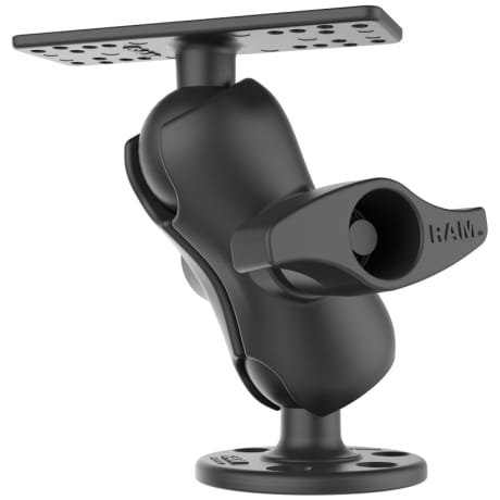
Click here for the RAM Mounts Compatibility Chart.