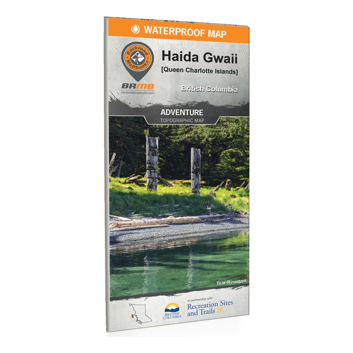
Backroad Mapbooks - Haida Gwaii (Queen Charlotte Islands) BC Waterproof Map
Article # C: 130759 B: 2696068

Share:
Product Description
Lose yourself in the magic of Haida Gwaii, BC’s hidden gem of island beauty and remote adventure. Renowned around the world for their majesty and splendor, these islands (formerly known as the Queen Charlotte Islands) off the coast of Northern BC showcase the best of Canada’s wilderness. Old growth Sitka forests, abundant wildlife and a vibrant indigenous culture contribute to making Haida Gwaii one of the most rewarding destinations in the world for outdoor adventurers. From the countless paddling routes around the hundreds of island that make up Haida Gwaii to remote oceanside campsites and bountiful fishing hotspots, there is no limit to excitement on this island paradise. Sparsely populated and naturally stunning, Haida Gwaii has to be seen to be believed.
To get the most out of your Haida Gwaii or Queen Charlotte adventure, the Backroad Mapbooks team has put their hearts and souls into creating the most comprehensive, detailed and easy-to-use map of Haida Gwaii available anywhere on the market. This dual-sided map is printed on durable, water-resistant paper to withstand the elements and keep you on track. With industry-leading cartographic detail and hundreds of Points of Interest, our Haida Gwaii Waterproof Map will keep you oriented and on track while you explore the islands’ fabled landscapes. With detailed information on parks and recreation sites, trails, Haida Gwaii culture, safety tips, useful contact information and more, our Haida Gwaii Waterproof Map is more than just a map – it’s a key to discovering one of the world’s most remarkable archipelagos.
Dimensions: 34" x 46-1/4" (86.3 cm x 117.4 cm)
Pages: 2
Map Scale: 2 sides @ 1:160,000
Regional Cities/Parks: Graham Island, Kunghit Island, Langara Island, Masset, Moresby Island, Port Clements, Queen Charlotte City, Rennell Sound, Rose Harbour, Sandspit, Skidegate and more

